
The site Kutte-Ji-Qabar is part of Sindh
1) Before the Arab invansion, the boundaries of Sindh extended to Kashmir in the North, Makran in the South and Kandhar in the West. But due to various reasons, such as disorders at home conquests by foreigners, local Rulers urge of recognition from the Courts of Delhi and Afghanistan and unfriendly attitude of neighbouring rulers. The boundaries of Sindh have been changing from time to time.
2) However, as per authorities on the History of Sindh, such as Chachnama, Kuti-ji-Qabar and the area adjacent to it belong to Sindh.
3) Almost every book written on the History of Sindh, while throwing the light on the boundaries of Sindh proves that Khirthar mountain, in which "Kutte-ji-Qabar" is situated falls
within the boundaries of Sindh.
Following books can be ref-ered in this connection:-
i. "Tahrik-i-Sindh" by Aijaz-ul-Haque Qudusi P-2
ii. "Sindh Arab period" by Dr.Mumtaz Pathan. P-27 to 30.
iii. "Janat-ul-Sindh" by Moulai Shedai, P-2 to 8.
iv. "Sindh Annual-1978" by Public Relations Department, government of Sindh, P-i.
v. "Gazetter of Sindh" by HT. Sorley P-i & 2.
vi. "Economy of Modern Sindh" by Ishrat Hussain, P-9.
4) A part from this, so many books can be quoted to prove that Khirthar/kohistan is located in Sindh.
i) Mushtaquer-Rahman in his book "Land and Life in Sindh, Pakistan" on its page 31 writes as under: -
"Several natural features make sindh a distinct regional entity. Located on the southern flunk of Pakistan, it has Khirther mountains in the West and a desert Region in the East".
ii) N,C Mujamda, in his book “Explorations InSindh" says on Pages 2 and 3 that: The Khirthar is the most important range of Sindh. At length of about 120 miles of the Khirthar lies in the Larkano District”
iii) The NEW ENCYCLOPEDIA BRITANNICA in its edition of 1987 on Page 931 provides the information on the information of mountains (Khirthar) with the term of SINDH KOHISTAN" as under:
11 Sindh Kohistan is located in the West of Sindh Province
i) Aitken in his GAZETTER OF THE PROVINCE OF SINDH provides evidence that: "The hills of Sindh consist of Khirthar Range to the East, with the laki Range South-East of it and group of smaller hills"
v) Moulai Shedai in his book JANAT-UL-SINDH repeats the same information and facts (PageNo. 8)
vi) H.T. Lambrick's book "SINDH A GENERAL INTRODUCTION" consists of a full chapter under the title of "THE SINDH HILL COUNTRY". He provides the information on the KUTTE-JI-QABAR as
under: "immediate to the South of the Daryaro plateau the massive peak of Kutte-ji-Qabar, (the Dog's tomb) rises to 6877 feet, nearly a thousand feet above the general level of this part of range a far-seen land mark in Upper Sindh (Page-40).
5) It is observed that people due to their affection and affiliation give names to every city and site with reference to area or locality. While going through the terminology used by local and European scholars, it appears that Sindhis have given names to many sites, peaks and even mountains. Some of them are as under:
(a) KHIRTHAR: The word "Khirthar" is combination and compound of two words of Sindhi language, they are "Khir" (Milk) and "Thar" (Desert) means "Milky Desert".
b) ACHHO JABAL: The Word "Achho Jabal" is also compound of two words of Sindhi language. They are "Achho" (White) and "Jabal" (Mountain).
c) DARYARO: The term/word 'Daryaro' is also compound of two Sindhi words. They are: "Dar:” (Door) and "Yaro" (Name of person) that means "the pass called after the name of Yaro".
d) KAKRIO/KUKRIO: The first line of the hills is spoken of as Kakrio/Kukrio. It is Sindhi word having meaning of "Broken"
a) KARO: The next ridge/line of the hill is called Karo in Sindhi that means Black hill.
f) KUTTE-JI-QABAR: "Kutte-ji-Qabar is compound of three Sindhi words: Kutto = Dog, Ji = 's(of), Qabar = Tomb, means "Dog's Tomb"
The report narrates the story of Kohistan tract as follow: "The district gradually rises from sandy ground of the hilly area, which goes on rising west-wards in various ridges of mountains known as Khirthar Range. It is a range of limestone hills and mountains. They extend along the whole western boundary of the district with a breadth of 12 to 13 miles in a straight line, going from north to south for about 0 to 40 miles till they cross over the limils of adjoining Dadu District situated n the south of this district. Khirthar Range consists of an ascending series of ridges running generally north to south wit broad, flat valleys in between. These ridges are locally distinguished by different names. For example the first line hills is spoken of as "Kakrio", i.e. broken; the next 35 "Kara" or black and "Zard" or Yellow"; third as "Pinaro" or saffron coloured, and so on. The highest ridge of the range at its northern extremity is about 5,000 feet above sea level. Towards the south, the height of the ridges decline. The most elevated peak known as "Kutte-ji-Qabar" (dog's tomb) is 6,878 feet above sea level. Fifteen hundred feet below this, towards north is a plateau known as Darya Waro. These hills afford pasturage for large flocks of sheep and goats. Tithe valley between the mountain ridges is green with grass after rains and people belonging to low lying areas start cultivation by raising bunds on the three sides, so that the incoming rain water may be stored for irrigating crops"(P-3).
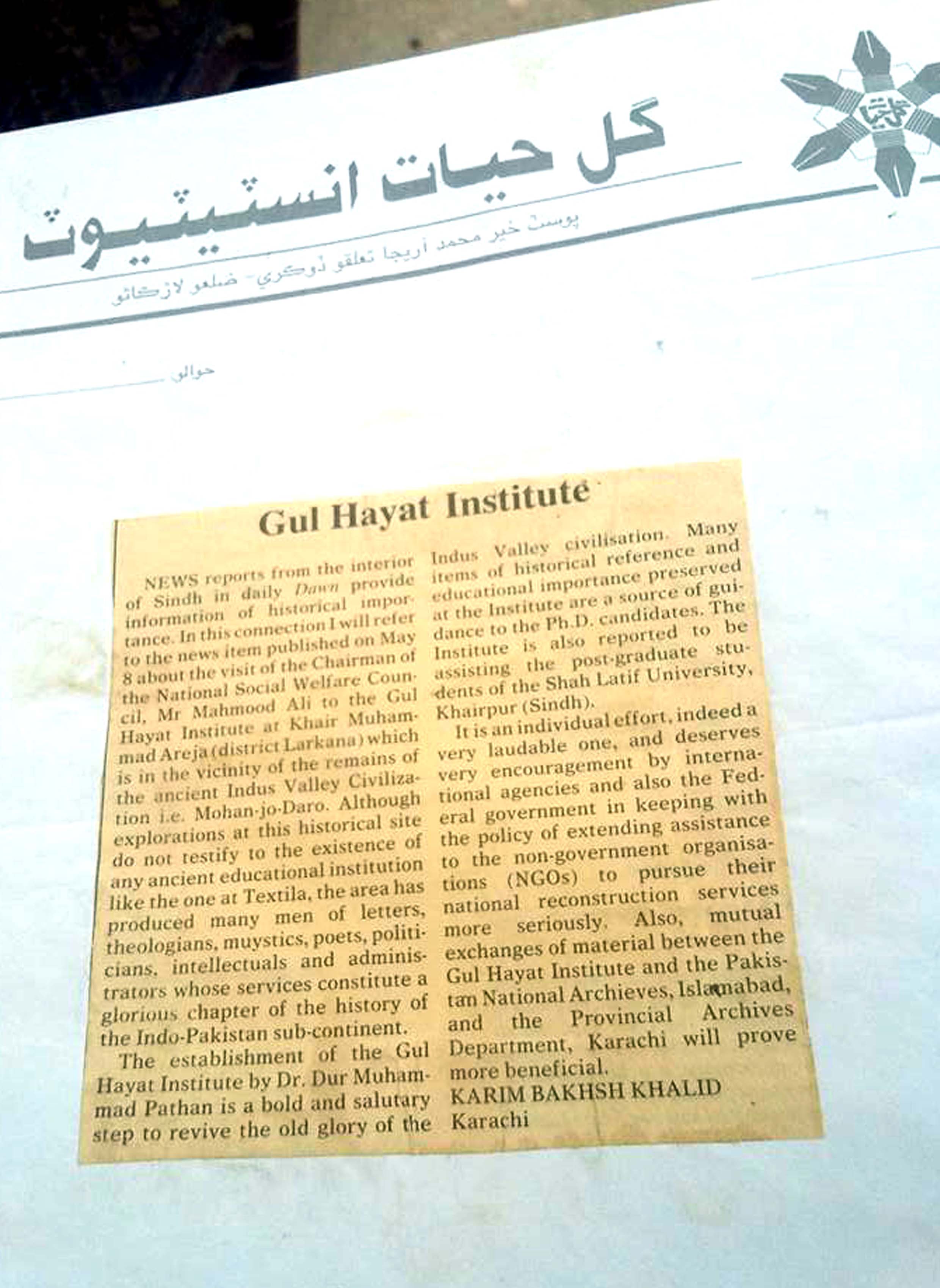
iv) “QADEEM SINDH” is an authentic and informative book by the eminent Sindh scholar Mirza Kalich baig. The book furnishes information on sites and cities of Sindh. In its Chapter No:2, it has been told that "Kutte-ji-Qabar" is situated in Larkana District (Page-52).
Location of Kute-ji-Qabar has been shown! indicated in various maps in the boundaries of Larkana district of Sindh Province. Following are the some examples:
i) Map of Sindh, published by the Government of Pakistan, in 1984. Contains entry of Symbol in the south of Daryaro in teluka Warah of Larkana District. It stands for the peak! poira of “KUTTE-JI-QABAR”.
ii) The book "Land and life in Sindh, Pakistan" by Myshtag-ur-Rahman contains a number of maps. Map No 9(page no 33) provides information regarding "Land form" in this map the ”Kohistan” has been included in the teritory of the Sindh Province.
iii) The physical map of sindh, included in the book "Sindh-A General Introduction" by H. T. Lambrick carries entry about "KUTTE-JI-QABAR". It has been mentioned in the north of Barani Nai and within the boundaries of Sindh.
SUPPORTING MATERIAL
1) Photo-stat copy of the first page of the "LARKANA DISTRICT GAZETTEER".
2) Photo-stat copy of the relevant pages from the book "LAND AND LIFE IN SINDH. PAKISTAN".
3)Photo-stat copy of the relevant pages of the 'GAZETTER OF THE PROVINCE OF SINDH" by Aitken.
4) Photo-stat of the chapter “THE SINDH HILL COUNTRY” from H. T. Lambrick's book SINDH A GEVNERAL INTRODUCTION".
5) Photo-stat copy of the Map No.9 from the book “LAND AND LIFE IN SINDH".
6) Photo slat copy of MAP of Sindh (Physical) frem H.T. Lambrick's book.
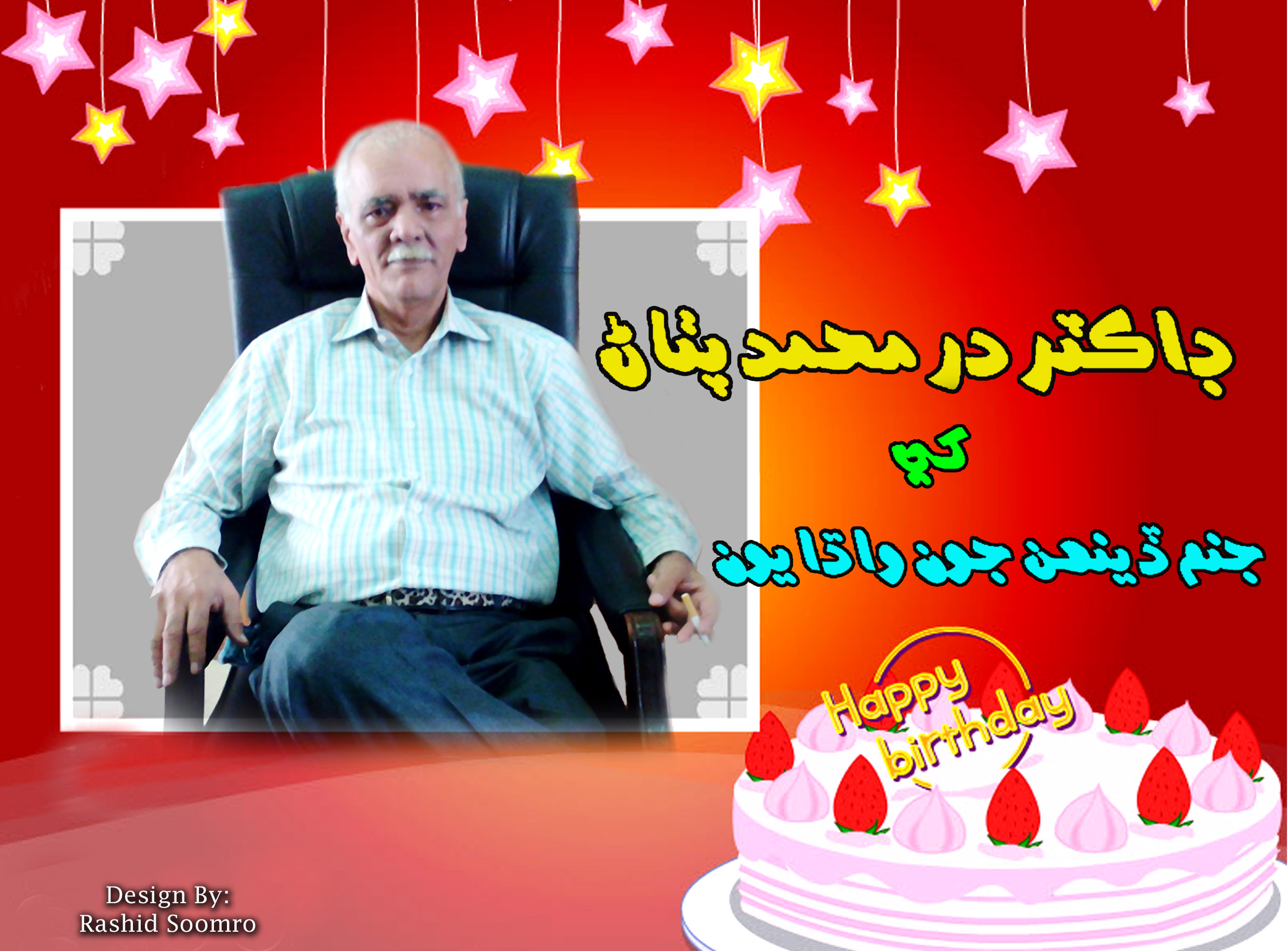
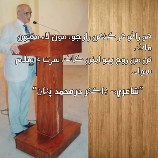
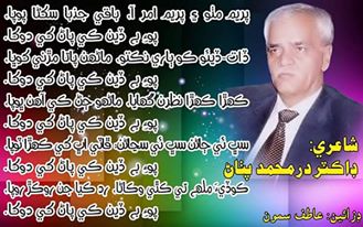
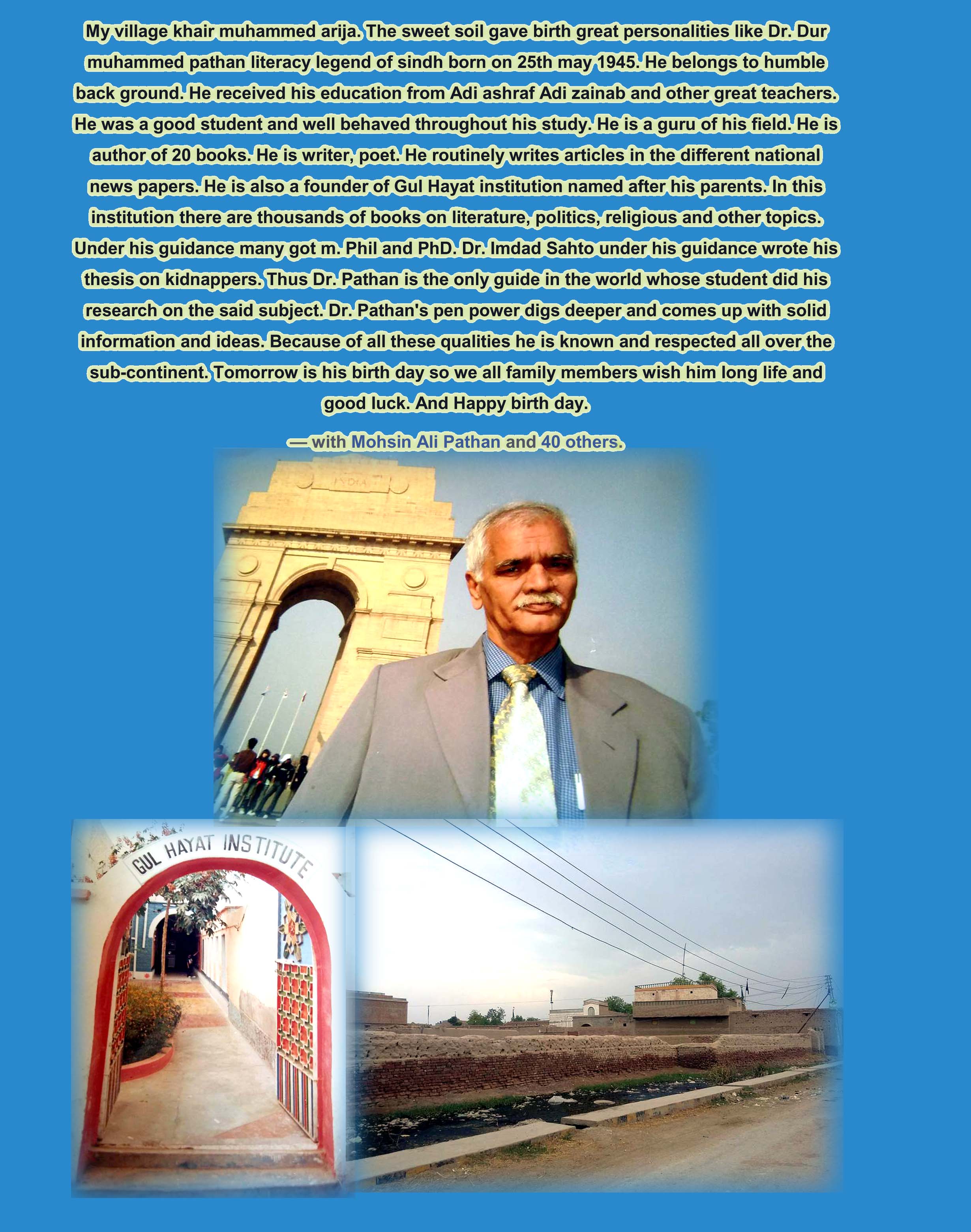
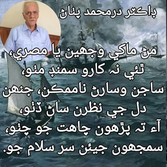
By: Dr. Dur Muhammad Pathan